The objective of Futures in Map is to produce an atlas of everyday maps that tell stories about a world we all might experience soon. I believe in the power of collaboration and the diversity of perspectives, and I welcome your expertise and creativity to contribute to this initiative. Get in touch: fabien@futures-in-maps.com.
About me
I am Fabien Girardin, a Swiss-Spanish researcher and engineer known as a pioneer of Design Fiction. I have been using maps in my explorations of emerging technologies. My research has been cited in more than 2000 academic publications and my creative work has been exhibited at the Museum of the Future in Dubai and the Design Museum in Barcelona among other international cultural institutions. More details…
Contribution Categories
I am seeking contributions that showcase the potential everyday consequences of global scale challenges such as climate change, labor automation, access to clean water, renewable energy production, etc. I am not interested in maps of the macro trends of our planet derived from statistics and predictive algorithms. Instead your creative work should show an issue and its consequences that might take place in a geographic area.
For example:
- What if autonomous vehicles became mainstream in Geneva?
- What if extreme heat and droughts become the norm in Buenos Aires?
The result should take the form of an everday map. Typical examples are:
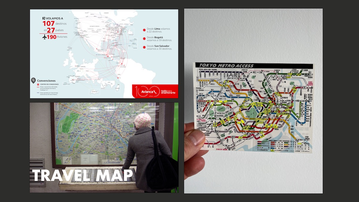
- British Airways destinations map
- New York Times 36-hours in Shanghai
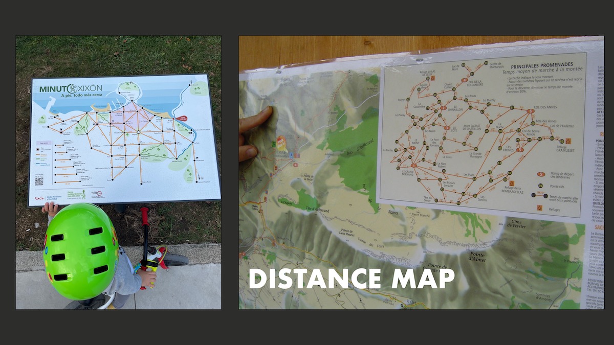
- Hiker’s map of Chamonix
- Flightradar map of Te Waipounamu
- Hand-drawn map of the path to a restaurant in Addis-Abada
- Tourist map of La Réunion
- Protest map of Paris
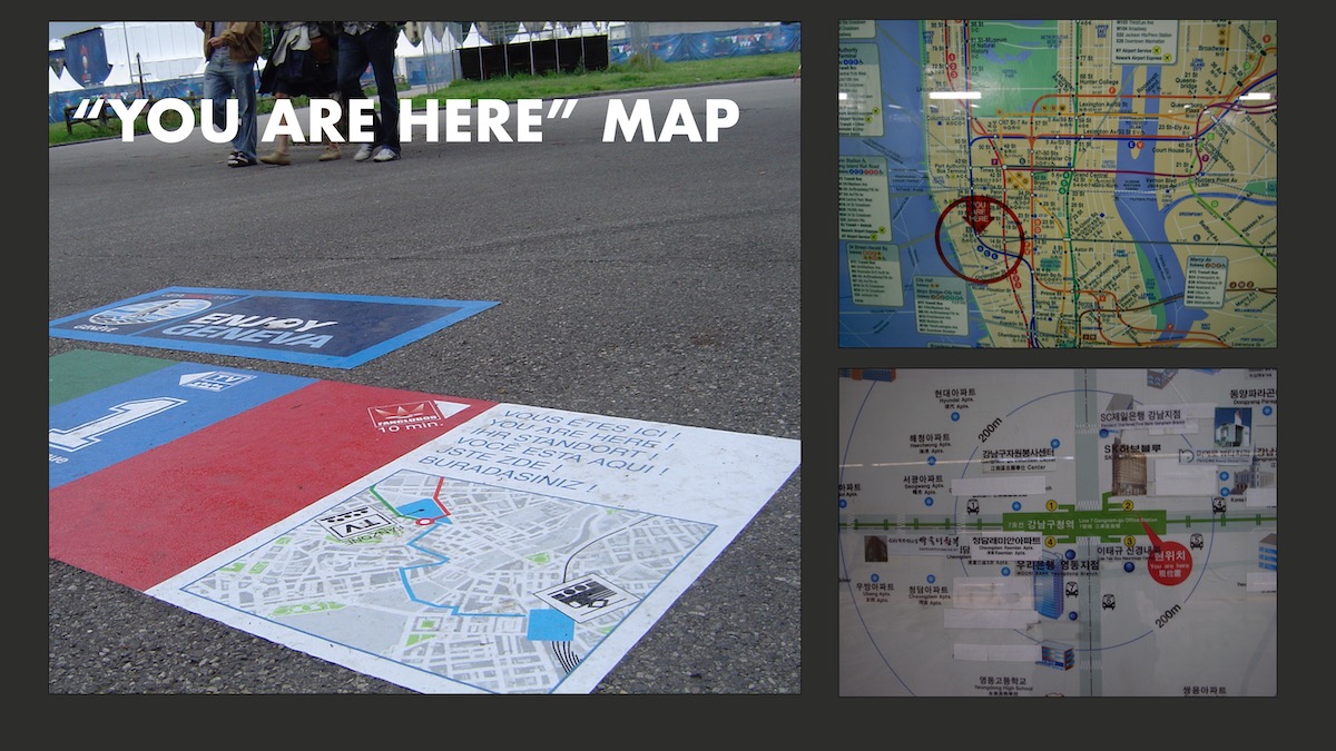
- Museum “you are here” map
- Bike map of Venice Beach
- Surfer map of Nazaré
- A map of a corner of the metaverse
- See below for more examples…
Guidelines for Contributions
I recommend using an approach called Design Fiction that combines local observations with global weak signals and prototyping techniques to create popular objects accessible to anyone.
Typically, the steps for this type of Design Fiction are:
- Part 1: Write a “what if” scenario
- Part 2: Collect stimulus material
- Part 3: Select an archetype
- Part 4: Make the map
- Part 5: Share your story
PART 1: WRITE A “WHAT IF” SCENARIO
Describe in one or a few sentence an issue or situation that might take place in a geographic area. It can be in relation to global scale challenges such as climate change, labor automation, access to clean water and renewable energy production.
For example:
- What if the average temperatures increase by 2°C in Montréal?
- What if kerosene prices triple at Madrid airport?
- What if hurricanes start to hit Boston regularly?
- What if the sea level rises at your favorite holiday destination?
- What if the metaverse becomes widely popular? (This planet’s territory also includes the ‘information superhighway’ and a ‘cyberspace’)
PART 2: COLLECT STIMULUS MATERIAL
Support your scenario with material that reveal elements of futurity. For example with:
- Personal observations (e.g. photos, thoughts)
- Inspiration material (e.g. essays, books, maps)
- Weak signals (e.g. reports, articles)
PART 3: SELECT AN ARCHETYPE
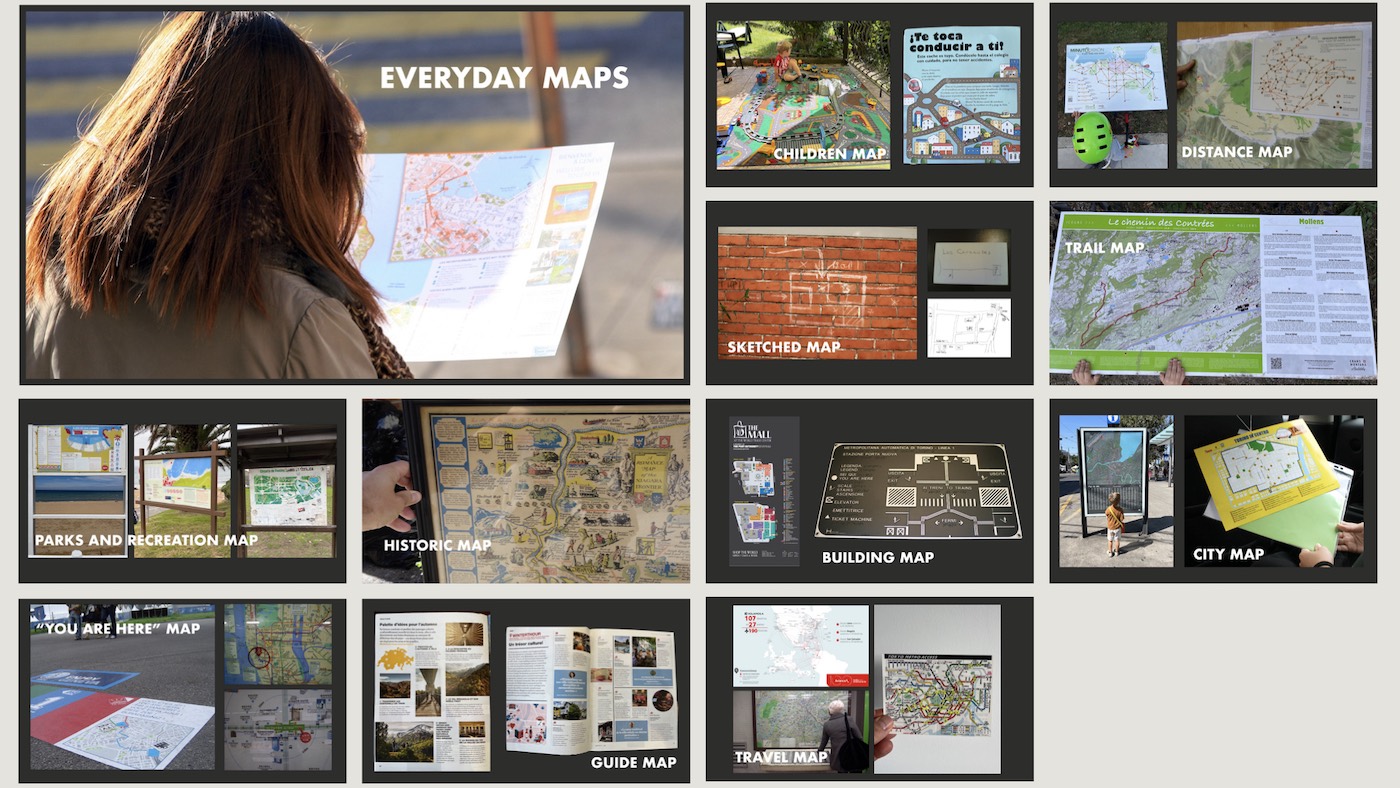
Look for the type of everyday map that would better support the stories. Think about a map, whether in physical or digital form, that is common in our modern world by providing guidance and information: a street map, a public transportation map, a tourist map, a park and trail map, etc. See below examples of everyday maps.
PART 4: MAKE THE MAP
- Use a basemap that will provide the spatial context of your “what-if” scenario. If you need a geographic map, you can use Open Street Maps, Mapbox Studio or Felt for basic editing of layers.
- Play with the tropes of your archetype. Think about the elements to modify with future ingredients while maintain the overall appearance of a map. For instance:
- Symbols
- Visuals
- Certifications, legislations, etc.
- Texts, new idioms
- Etc.
- Print it and take photos in different contexts of use.
Submission Process
To submit your contribution, please email-me ( fabien@futures-in-maps.com) the following material:
- Your map
- Image(s) of your map in context
- A 300-words text that describes:
- Why does this map matter?
- What does it show (e.g. what are its main stories)?
See these examples of submitted maps:
- What if autonomous vehicles became mainstream in Geneva?
- What if extreme heat and droughts become the norm in Buenos Aires?
Review and Selection
All contributions will be reviewed by members of the Near Future Laboratory, and selected contributions will be featured in futures-in-maps.com and published in the printed version of the atlas.
The selected contributions will be under a Creative Commons Attribution-NonCommercial-NoDerivatives 4.0 International License
Contact Information
I look forward to receiving your contributions and working together to have people travel around the near future with everyday maps. Get in touch: fabien@futures-in-maps.com.
Thank you,
Fabien Girardin, Editor of Future in Maps
WHAT ARE EVERYDAY MAPS?
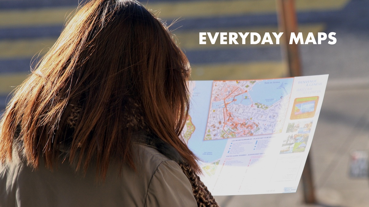
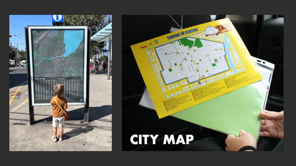
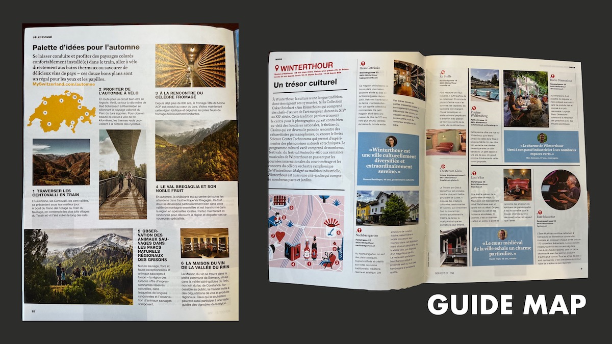
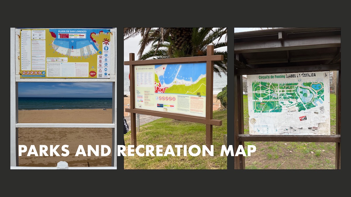
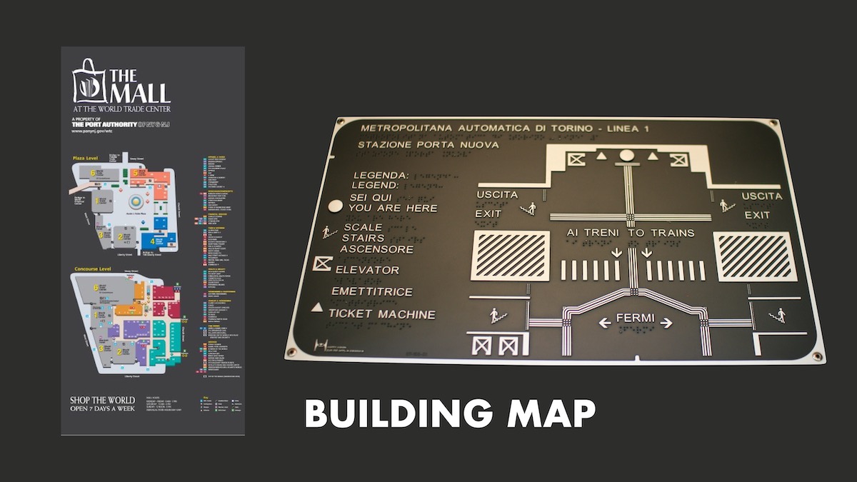
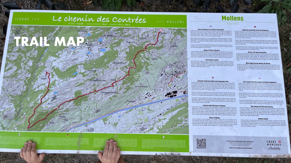
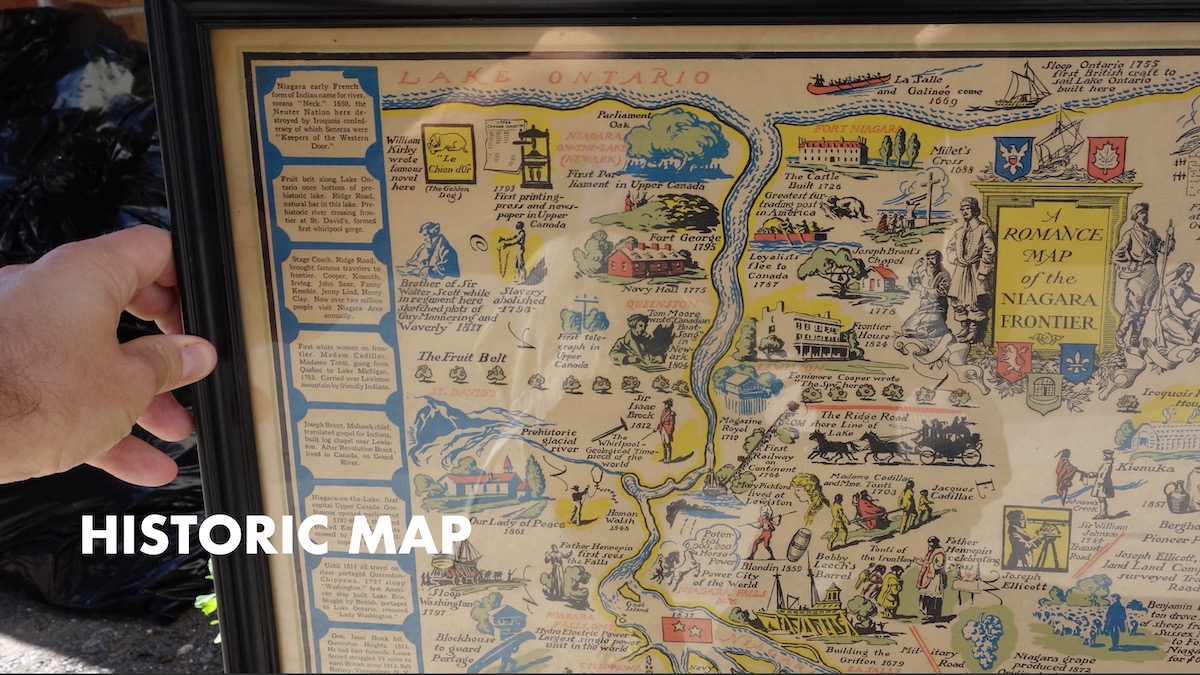
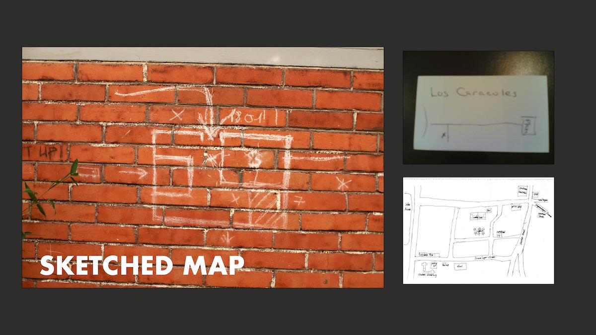
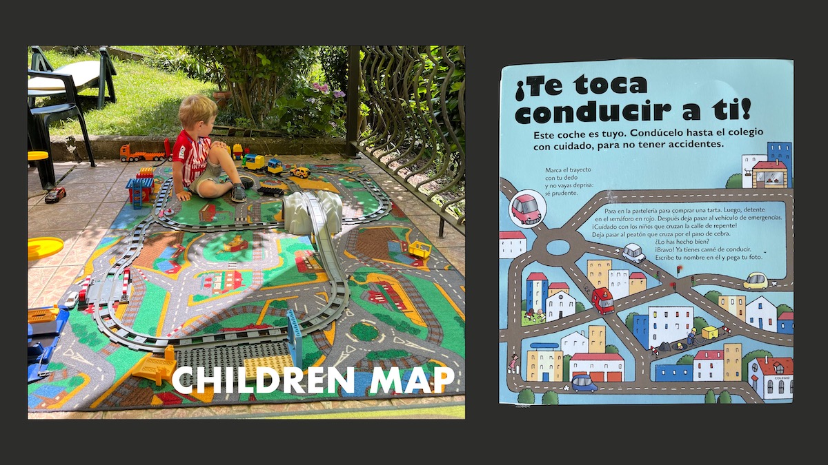
Everyday maps are an integral part of our daily lives, often taken for granted but playing a crucial role in helping us navigate the world around us. These maps come in various forms and serve a multitude of purposes. Whether you’re commuting to work, exploring a new city, or simply finding your way around a shopping mall, everyday maps are ubiquitous.
Typical examples are:
- British Airways destinations map
- New York Times 36-hours in Shanghai
- Hiker’s map of Chamonix
- Flightradar map of Te Waipounamu
- Hand-drawn map of the path to a restaurant in Addis-Abada
- Tourist map of La Réunion
- Protest map of Paris
- Museum “you are here” map
- Bike map of Venice Beach
- Surfer map of Nazaré
- A map of a corner of the metaverse
They look like this:
